303-423-8475
mail@condorconsult.com
Condor Consulting Services
Condor provides services for processing, modeling and analysis of geophysical data.
We specialize in inversion, visualization and geologically based assessments. We are experts in all aspects of airborne geophysics and work with clients to integrate all geoscience data whether airborne, ground or borehole into a coherent project data set from which sound exploration decisions can be based.
Condor has worked with data from the following systems:
EM & Aeromagnetics
- AeroTEM II, III and IV
- HeliGEOTEM/HeliTEM
- MegaTEM
- Geotem
- Tempest
- DIGHEM/Resolve
- Impulse
- Hummingbird
- Spectrem
- SkyTEM
- VTEM
- ZTEM
- HoistEM
- REPTEM
Airborne Gravity
- AirGrav
- Falcon (gravity gradient data)
- Bell‐FTG (gravity gradient data)
Ground Geophysical and Borehole EM
- IP
- EM
- Gravity
- Magnetics
Inversion and Model Building
- All geophysical data including 2D and 3D modeling of EM and IP survey data.
GeoInterp
Condor offers a service whereby through the 2D and 3D processing of geophysical data plus input from known geology and geochemistry, a solid earth geology map can be built that honors both the geophysical and geological data. Contact Condor for additional information and examples.
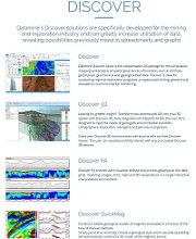
Datamine Software
Condor Consulting Inc. is a reseller of the Datamine Software line of geophysical modeling software in North America.
For more information on specific products, demo licenses, quotations on software, or applications support please contact us »
For detailed information, visit Datamine Software
click here »
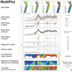
Condor Consulting Imagery
click image to enlarge